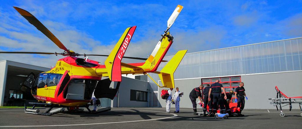
Zone atterrissage pour hélicoptères (29)
Implantation des drop zone (DZ) adaptée à l'usage des sapeurs pompiers
Simple
- Alternate title
-
Drop Zone
- Date (Revision)
- 2021-10-18
- Citation identifier
- https://geobretagne.fr/geonetwork/srv/fre/xml_iso19139?uuid=ccb38f20-d452-11de-bf94-0000c0a8230b
- Purpose
-
Résumé des raisons de la création et de la gestion de cette donnée, rappel des principaux projets et acteurs concernés par cette donnée
- Status
- Completed
- Point of contact
-
Organisation name Individual name Electronic mail address Role SDIS29
Guenhaël Le MOING
Custodian
- Maintenance and update frequency
- As needed
- Keywords
-
-
SDIS29
-
données ouvertes
-
-
GéoBretagne v 2.0
-
-
mobilité transport : transport aérien
-
données ouvertes
-
-
INSPIRE themes
-
-
Réseaux de transport
-
- Use limitation
-
Usage libre sous réserve des mentions obligatoires sur tout document de diffusion : "Source : SDIS29"
- Use limitation
-
Licence ouverte v2.0 : https://www.etalab.gouv.fr/wp-content/uploads/2017/04/ETALAB-Licence-Ouverte-v2.0.pdf
- Access constraints
- Other restrictions
- Use constraints
- License
- Other constraints
-
Pas de restriction d’accès public
- Spatial representation type
- Vector
- Denominator
- 5000
- Language
-
fre
- Character set
- UTF8
- Topic category
-
- Utilities communication
))
- Supplemental Information
-
Ponctuel décrivant l'implantation des DZ
- Reference system identifier
- / RGF93 / Lambert-93 (EPSG:2154) /
- Topology level
- Geometry only
- Geometric object type
- Point
Distributor
- Distributor contact
-
Organisation name Individual name Electronic mail address Role SDIS 29
Guenhaël Le MOING
Owner
- Fees
-
gratuit
- Ordering instructions
-
Ces données sont diffusables à tous les partenaires de géobretagne.
- Distributor format
-
Name Version ESRI Shapefile
1.0
- OnLine resource
-
Protocol Linkage Name OGC:WMS
https://geobretagne.fr/geoserver/sdis29/wms?SERVICE=WMS&REQUEST=GetCapabilities drop_zone_sdis29
WWW:DOWNLOAD-1.0-http--download
https://geobretagne.fr/geoserver/sdis29/wfs?service=wfs&version=1.0.0&request=getfeature&typename=drop_zone_sdis29&outputformat=shape-zip
- Hierarchy level
- Dataset
- Statement
-
Le géoréférencement des DZ été effectué à partir de la BD Ortho et la Bd Topo de l'IGN.
- Description
-
Bd Ortho IGN, Bd Topo IGN
- Denominator
- 5000
- Reference system identifier
- RGF93 / Lambert-93 (EPSG:2154)
Metadata
- File identifier
- ccb38f20-d452-11de-bf94-0000c0a8230b XML
- Metadata language
-
fre
- Character set
- UTF8
- Hierarchy level
- Dataset
- Hierarchy level name
-
Guenhaël le MOING
- Date stamp
- 2021-10-18T11:16:19
- Metadata standard name
-
ISO 19115
- Metadata standard version
-
1.0
- Metadata author
-
Organisation name Individual name Electronic mail address Role SDIS29
Guenhaël Le MOING
Custodian
Overviews
Spatial extent
Provided by
